
Some towns are best understood from a map. Parga is best understood from underneath, looking up: tier upon tier of pastel-coloured houses climbing a green hillside from a horseshoe bay, a Venetian castle crowning the top, and a maze of stepped lanes stitching the whole thing together. This is a town built for walking, not driving, and its streets still carry the fingerprints of the empires that once ruled here.
A Town Shaped by Its Bay and Its Hill
Parga sits on the Ionian coast of Epirus, between Preveza to the south and Igoumenitsa to the north, and has always felt slightly apart from the rest of the mainland. It is often described as an island that never quite detached itself from the coast, and the layout of the old town explains why: houses were built amphitheatrically, in curved terraces around the natural harbour rather than along a grid, so most homes share the view and the sea breeze.
The old town proper is the pedestrianised quarter between the harbour and the castle hill, roughly a fifteen to twenty minute uphill walk from the seafront if taken slowly, longer if you stop for photographs, which you will. Cars are left on the approach roads or in car parks at the edges of town; from there, everything is on foot.
Four Centuries of Venetian Character
Parga came under the protection of the Republic of Venice in 1401, when its townspeople sought Venetian help against a local governor, and remained tied to Venice until the Republic itself fell to Napoleon's forces in 1797. That long Venetian association, shared with the nearby Ionian islands, is the single biggest reason Parga looks and feels different from other Epirot towns.
It shows in the architecture: tall, narrow two- and three-storey houses with tiled roofs, shuttered windows, arched doorways and wrought-iron or timber balconies, plastered in ochre, rose, blue and cream rather than left in bare stone. Look closely and you will spot Venetian touches, from arched niches above doorways to an occasional coat of arms worked into a lintel. The result feels like a lived-in patchwork, closer in spirit to a small Ionian island than to the stone villages of inland Epirus.
Kalderimi, Balconies and Bougainvillea
The lanes themselves are kalderimia, the cobbled paths found across Greece, here worn smooth by centuries of feet and mule traffic and often too narrow for two people to pass comfortably side by side. Many climb in steps, doubling back on themselves as they follow the contours of the hill, opening unexpectedly onto small squares, a chapel, or a sudden view down to the water.
What makes a walk through them so photogenic is the domestic detail: wooden shutters in faded blue or green, washing lines strung between buildings, potted geraniums on stone steps, and bougainvillea spilling over garden walls and balcony rails in shades of magenta and orange. Small courtyards, glimpsed through half-open gates, hint at a private life behind the postcard façades. Little of the old town is given over to traffic or formal squares; it rewards slow, unplanned wandering more than a fixed route.
The Castle, the Harbour and a Turbulent History
At the top of the town stands the castle, a fortress with roots going back to the eleventh century that the Venetians rebuilt and strengthened repeatedly as Ottoman power grew in the surrounding region. Its walls enclose gardens and viewpoints today, but for centuries it was the reason Parga could resist those who besieged it, including the forces of the powerful Ottoman-Albanian ruler Ali Pasha of Ioannina.
The town's most poignant chapter came in the early nineteenth century, when Parga sheltered Souliot fighters resisting Ali Pasha and supplied them from its port. The British, then protecting power over the Ionian Islands, ceded the town to Ali Pasha under a treaty ratified in 1819; rather than live under his rule, the townspeople left, taking the bones of their ancestors with them, an exodus remembered locally as one of the region's saddest chapters. Ottoman rule continued until 1913, when Epirus, including Parga, joined the modern Greek state after the Balkan Wars.
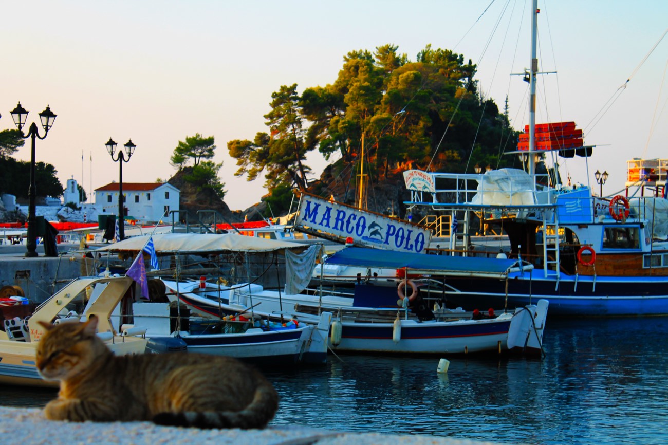
Below the castle, the harbour curves around a small, chapel-topped islet just offshore, with the ruins of a fort built in 1808 still visible on it, a favourite subject for photographs at sunset. The waterfront promenade, lined with seafront tavernas and cafés, is where the old town's uphill lanes finally spill back down to sea level.
Walking the Old Town Today
The best light for photographs, and the coolest air for walking, comes in early morning or the hour before sunset, when the castle and the pastel façades take on a golden glow and the steepest lanes lose their midday heat. Late spring and autumn are the most comfortable seasons for exploring on foot, with warm but not overwhelming temperatures and thinner crowds than midsummer, when daytime highs regularly reach the low thirties Celsius.
Families generally find the old town easy and safe to explore, since it is fully pedestrianised, but pushchairs and anyone with limited mobility should be prepared for steps, slopes and uneven cobbles throughout, particularly on the climb towards the castle. Comfortable, grippy shoes make a real difference on the worn stone.
Good to know
- The old town is pedestrian-only; leave the car in a car park on the approach roads and continue on foot.
- Expect a genuinely uphill walk to the castle, with narrow stepped lanes rather than flat pavements through much of the old quarter.
- Early morning or the hour before sunset are the most comfortable, and most photogenic, times to walk the lanes.
- Bougainvillea and balcony planting are at their most vivid from late spring through autumn.
- The town beach and a quieter second beach are within easy walking distance of the harbour, good for combining a stroll with a swim.
- A small islet with a chapel sits just off the harbour, reachable by a short swim for confident swimmers or by local boat trips.